Dosya:Map of federal subjects of Russia (2014), disputed Crimea.svg

Bu SVG dosyasının PNG önizlemesinin boyutu: 512 × 282 piksel. Diğer çözünürlükler: 320 × 176 piksel | 640 × 353 piksel | 1.024 × 564 piksel | 1.280 × 705 piksel | 2.560 × 1.410 piksel.
Orijinal dosya (SVG dosyası, sözde 512 × 282 piksel, dosya boyutu: 723 KB)
,_disputed_Crimea.svg)

|
The boundaries on this map show the de facto situation. This is just one of several different views on the subject (see COM:NPOV). |
Özet
| Açıklama |
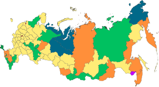
English: Copy of File:Map of federal subjects of Russia (2014).svg with disputed annexed territories indicated with diagonal stripes |
| Tarih | |
| Kaynak |
Yükleyenin kendi çalışması. Bu dosya şu kaynaktan türetilmiştir: Map of federal subjects of Russia (2014).svg |
| Yazar | Mzajac |
.svg)
Lisanslama
| This map is ineligible for copyright and therefore in the public domain, because it consists entirely of information that is common property and contains no original authorship. For more information, see Commons:Threshold of originality § Maps.
|
Dosya geçmişi
Dosyanın herhangi bir zamandaki hâli için ilgili tarih/saat kısmına tıklayın.
| Tarih/Saat | Küçük resim | Boyutlar | Kullanıcı | Yorum | |
|---|---|---|---|---|---|
| güncel | 03.22, 31 Aralık 2022 | | 512 × 282 (723 KB) | wikimediacommons>CiudadDeMexico | Reverted to version as of 23:26, 18 December 2022 (UTC) |
Dosya kullanımı
Aşağıdaki sayfa bu dosyayı kullanmaktadır:
,_disputed_Crimea.svg)