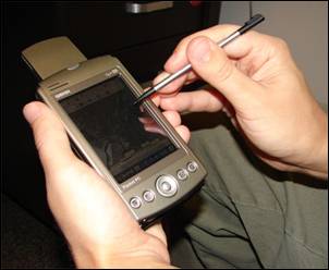
Dosya:PDA Mapping.jpg
PDA_Mapping.jpg (302 × 248 piksel, dosya boyutu: 12 KB, MIME türü: image/jpeg)
Dosya geçmişi
Dosyanın herhangi bir zamandaki hâli için ilgili tarih/saat kısmına tıklayın.
| Tarih/Saat | Küçük resim | Boyutlar | Kullanıcı | Yorum | |
|---|---|---|---|---|---|
| güncel | 21.55, 30 Ocak 2009 |  | 302 × 248 (12 KB) | wikimediacommons>Awickert | {{Information |Description={{en|1=A handheld computer with GPS and GIS software is often used for scientific field work.}} |Source=Advanced GIS-Based Field Mapping Techniques for Multi-Disciplinary Research: http://geography.wr.usgs.gov/science/mapping.ht |
Dosya kullanımı
Aşağıdaki sayfa bu dosyayı kullanmaktadır:

