Dosya:Southend-on-Sea UK locator map.svg

Bu SVG dosyasının PNG önizlemesinin boyutu: 749 × 600 piksel. Diğer çözünürlükler: 300 × 240 piksel | 600 × 480 piksel | 959 × 768 piksel | 1.279 × 1.024 piksel | 2.558 × 2.048 piksel | 1.425 × 1.141 piksel.
Orijinal dosya (SVG dosyası, sözde 1.425 × 1.141 piksel, dosya boyutu: 1,41 MB)
| Açıklama |
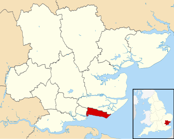
Map of Essex, UK with Southend-on-Sea highlighted. Equirectangular map projection on WGS 84 datum, with N/S stretched 160% |
| Tarih | |
| Kaynak |
|
| Yazar | Nilfanion, created using Ordnance Survey data |
| İzin (Bu dosyanın tekrar kullanımı) |
Bu dosya, Creative Commons Atıf-Benzer Paylaşım 3.0 Taşınmamış lisansı ile lisanslanmıştır Atıf: Contains Ordnance Survey data © Crown copyright and database right
|
Dosya geçmişi
Dosyanın herhangi bir zamandaki hâli için ilgili tarih/saat kısmına tıklayın.
| Tarih/Saat | Küçük resim | Boyutlar | Kullanıcı | Yorum | |
|---|---|---|---|---|---|
| güncel | 01.15, 4 Ağustos 2011 | | 1.425 × 1.141 (1,41 MB) | wikimediacommons>Nilfanion | {{Information |Description=Map of Essex, UK with Southend-on-Sea highlighted. Equirectangular map projection on WGS 84 datum, with N/S stretched 160% |Source=Ordnance Survey [https://www.ordnancesur |
Dosya kullanımı
Aşağıdaki sayfa bu dosyayı kullanmaktadır: