Dosya:Mediterranean Sea location map.svg

Orijinal dosya (SVG dosyası, sözde 1.754 × 862 piksel, dosya boyutu: 1,19 MB)
Özet
| Açıklama |
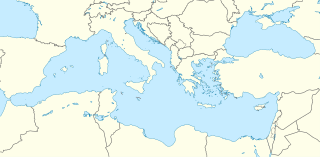
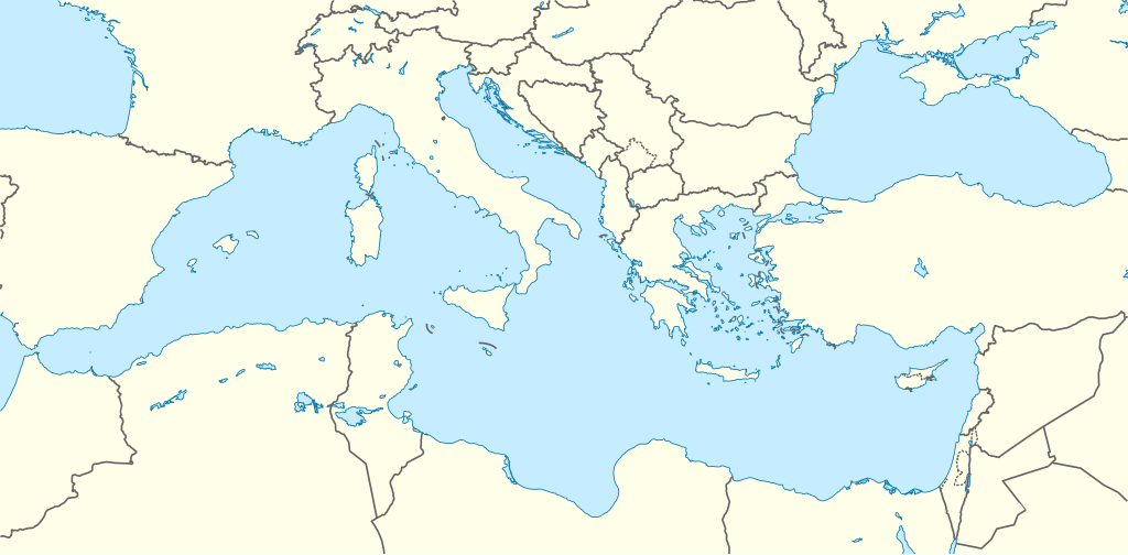
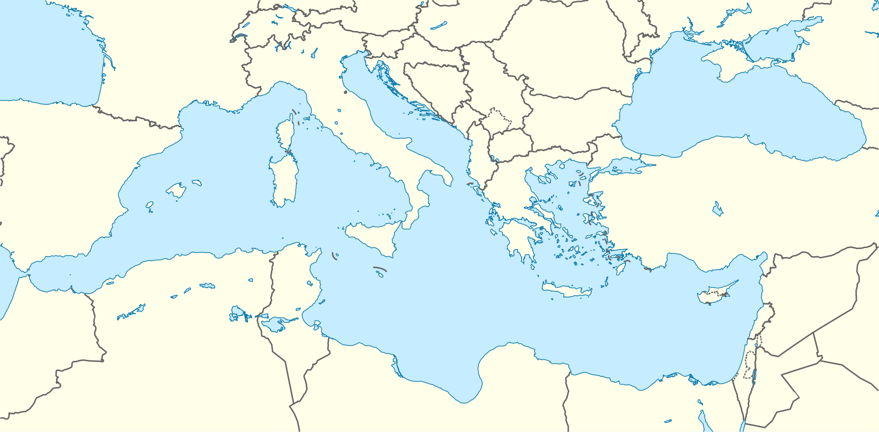
Deutsch: Positionskarte des Mittelmeers
Quadratische Plattkarte, N-S-Streckung 128 %. Geographische Begrenzung der Karte:
English: Location map of the Mediterranean Sea
Equirectangular projection, N/S stretching 128 %. Geographic limits of the map:
|
|
| Tarih | ||
| Kaynak | Yükleyenin kendi çalışması using World Data Base II data | |
| Yazar | NordNordWest | |
| İzin (Bu dosyanın tekrar kullanımı) |
Bu dosya, Creative Commons Atıf-Benzer Paylaşım 3.0 Almanya lisansı ile lisanslanmıştır.
 Bu dosya, Creative Commons Atıf-Benzer Paylaşım 3.0 Taşınmamış lisansı ile lisanslanmıştır
|
|
| Diğer sürümler |
Bu dosyanın türev çalışmaları: |

.svg)

|
This map has been made or improved in the German Kartenwerkstatt (Map Lab). You can propose maps to improve as well.
|
Dosya geçmişi
Dosyanın herhangi bir zamandaki hâli için ilgili tarih/saat kısmına tıklayın.
| Tarih/Saat | Küçük resim | Boyutlar | Kullanıcı | Yorum | |
|---|---|---|---|---|---|
| güncel | 10.58, 8 Eylül 2010 | | 1.754 × 862 (1,19 MB) | wikimediacommons>NordNordWest | =={{int:filedesc}}== {{Information |Description= {{de|Positionskarte des Mittelmeers}} Quadratische Plattkarte, N-S-Streckung 128 %. Geographische Begrenzung der Karte: * N: 48.0° N * S: 29.0° N * W: 7.0° W * O: 42.5° O {{en|Locatio |